


Shoreland Ordinance Section 13
Establishment of Districts
- Resource Protection District
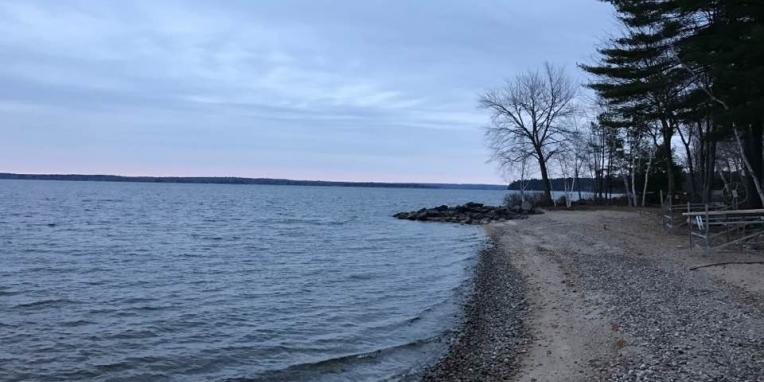
The Resource Protection District includes areas in which development would adversely affect water quality, productive habitat, biological ecosystems, or scenic and natural values. This district shall include the following areas when they occur within the limits of the shoreland zone, exclusive of the Stream Protection District.
- Areas within two hundred and fifty (250) feet, horizontal distance, of the upland edge of freshwater wetlands, and wetlands associated with great ponds and rivers, which are rated “moderate” or “high” value waterfowl and wading bird habitat, including nesting and feeding areas, by the Maine Department of Inland Fisheries and Wildlife (MDIF&W) that are depicted on a Geographic Information System (GIS) data layer maintained by either MDIF&W or the Department as of May 1, 2006. For the purposes of this paragraph “wetlands associated with great ponds and rivers” shall mean areas characterized by non-forested wetland vegetation and hydric soils that are contiguous with a great pond or river, and have a surface elevation at or below the water level of the great pond or river during the period of normal high-water. “Wetlands associated with great ponds or rivers” are considered to be part of that great pond or river.
Habitat for species appearing on the official state or federal lists of endangered or threatened species; high and moderate value deer wintering areas and travel corridors as defined by the Department of Inland Fisheries and Wildlife; high and moderate value waterfowl and wading bird habitats, including nesting and feeding areas as defined by the Department of Inland Fisheries and Wildlife; critical spawning and nursery areas for Atlantic sea run salmon as defined by the Atlantic Sea Run Salmon Commission; and shorebird nesting, feeding and staging areas and seabird nesting islands as defined by the Department of Inland Fisheries and Wildlife.
- Flood-plains along rivers and flood-plains along artificially formed great
ponds along rivers, defined by the one hundred (100) year flood-plain as designated on the Federal Emergency Management Agency’s (FEMA) Flood Insurance Rate Maps or Flood Hazard Boundary Maps, or the flood of record, or in the absence of these, by soil types identified as recent flood-plains soils. This district shall also include one hundred (100) year flood-plains adjacent to tidal waters as shown on FEMA’s Flood Insurance Rate Maps or Flood Hazard Boundary Maps.
- Areas of two or more contiguous acres with sustained slopes of twenty (20) percent or greater.
4. Areas of two (2) or more contiguous acres supporting wetland vegetation and hydric soils, which are not part of a freshwater or coastal wetland as defined, and which are not surficially connected to a water body during the period of normal high-water.
- Land areas along rivers subject to severe bank erosion, undercutting, or river bed movement.
- Limited Residential District
The Limited Residential District includes those areas suitable for residential and recreation development. It includes areas other than those in the Resource Protection District, or Stream Protection District.
C. Stream Protection District
The Stream Protection District includes all land areas within seventy-five (75) feet, horizontal distance, of the normal high-water line of a stream, exclusive of those areas within two-hundred and fifty (250) feet, horizontal distance, of the normal high-water line of a great pond, or river, or within two hundred and fifty (250) feet, horizontal distance, of the upland edge of a freshwater or coastal wetland. Where a stream and its associated shoreland area are located within two-hundred and fifty (250) feet, horizontal distance, of the above water bodies or wetlands, that land area shall be regulated under the terms of the shoreland district associated with that water body or wetland.